Search Parcels, Taxes, Deeds & Maps
Search Summit County property records by seven-digit parcel number, owner name or street address, then use the official property card to review market value, assessed value, buildings, sales, tax distribution, legal-description clues and nearby parcels.
This guide also explains Summit County’s unusual Fiscal Office structure, the 2026 reappraisal, current tax deadlines, recorded-document research, GIS layers, valuation appeals, exemptions and the exact temporary office location for each property task.
Quick answer: use Property Tax & Appraisal
Open the official Summit County Property Tax and Appraisal search, accept the disclaimer and search with one clean identifier. A parcel number must contain seven digits. For an address, begin with the street number and main street name without a direction or suffix. For an owner, begin with the surname. Verify the result using both the parcel number and property address.
7:30 a.m.–4:00 p.m., Monday–Friday.
The official property system states that its data is updated daily through approximately 10:00 p.m.
After reviewing the format above, open the official search. The system also offers Advanced Search, a Board of Revision complaint download and a tax estimator.
Choose the property question you need answered
Each section completes a specific task instead of sending you through a directory of unexplained links.
Which Fiscal Office division handles your task?
Summit County combines functions that many Ohio counties divide among separate elected offices. Start with Property Tax and Appraisal to identify the parcel, then move to the division that controls the action.
Your task |
Correct office or system |
What it provides |
Important limit |
|---|---|---|---|
Find owner, address, parcel or value |
Property Tax & Appraisal |
Property card, values, sales, buildings, tax information and parcel identifiers. |
The owner field is not a substitute for the recorded deed. |
Pay taxes or check a bill |
Treasurer Division |
Bills, payment posting, online payment, TIP, delinquent plans and tax-copy requests. |
The Appraisal Department cannot post a payment. |
Find deed, mortgage, lien or easement |
Recording Division |
Recorded-document indexes and images from 1988 forward plus older index books. |
Staff do not perform title or property searches for users. |
View parcels, surveys or plats |
Summit County GIS |
Parcel lines, dimensions, lot numbers, aerials, recorded surveys and plat layers. |
GIS is informational and not a legal survey. |
Question a market value |
Real Estate/Appraisal or BOR |
Property review, 2026 reappraisal information and formal DTE 1 complaints. |
BOR does not decide whether tax rates are too high. |
Apply for Homestead or owner occupancy |
Tax Programs |
DTE forms, eligibility rules, income limits and application help. |
A residential classification alone does not prove eligibility. |
Transfer or record property |
Property Transfer / Recording |
Legal-description review, conveyance forms, recording and document return. |
County employees cannot draft a deed or give legal advice. |
Search by parcel, address or owner name
The official Summit County tools use strict formatting. Starting with too many fields can hide the correct result when one word, suffix or owner initial is stored differently.
- Locate the number on a tax bill, deed, notice or prior property card.
- Enter all seven digits.
- Do not add an owner or address during the first attempt.
- Check for a missing leading zero.
- Verify the returned physical address.
- Enter the house number.
- Add only the main street name.
- Do not initially enter North, South, East or West.
- Leave off Street, Road, Avenue, Drive and similar suffixes.
- Add details only when results are too broad.
- Begin with the last name only.
- Add the first name when several matches appear.
- Try a former surname, trust, estate or business name.
- On legacy Fiscal Office search forms, a percent sign may separate surname and first name.
- Verify the parcel rather than relying on a name match.
Open and verify the correct property card
Information worth saving
No Summit County property result found?
Use GIS as a temporary search fallback
Understand the Summit County property record
Field |
What it means |
What to check next |
|---|---|---|
Parcel number |
The seven-digit county identifier for the taxable property. |
Use it across appraisal, tax, GIS, recording and BOR systems. |
Owner |
The owner name currently connected with the parcel database. |
Use the recorded deed when legal ownership proof is required. |
Tax-mailing address |
The address used to send tax correspondence. |
Do not confuse it with the physical property location. |
Market or appraised value |
The Fiscal Office estimate of fair market value. |
Compare parcel facts, condition and neighborhood sales. |
Assessed value |
Thirty-five percent of the appraised value. |
Use the correct effective tax rate and applicable credits. |
Land and building values |
The separate portions assigned to land and improvements. |
Check acreage, square footage, condition and outbuildings. |
Tax district |
The municipality, school and other taxing authorities applying to the parcel. |
Do not compare taxes with a parcel in a different district. |
Sale history |
Recorded transfers and sale information linked to the parcel. |
Check the actual deed and whether the sale was arm’s-length. |
Property characteristics |
Building age, use, area, grade, condition and other appraisal data. |
Document a factual error before asking for correction or appeal. |
Tax distribution |
Where parcel tax dollars are allocated among taxing authorities. |
Use it to separate levy questions from appraisal-value questions. |
Check these physical facts before disputing value
Review a new Summit County property value
Ohio requires a full reappraisal every six years and a value update in the third year. Summit County’s previous sexennial reappraisal was effective for tax year 2020, making 2026 the next sexennial cycle.
What appraisers review
- Property class and use
- Land size and location
- Building age, area and condition
- Garages and other improvements
- Recent home sales
- Similar price range
- School district
- Shared market influences
- New additions
- New buildings
- Demolition or damage
- Permit-driven improvements
New construction versus maintenance
Type of work |
Possible appraisal effect |
What the owner should do |
|---|---|---|
Room addition or new structure |
Can add value to existing land or buildings. |
Confirm area, quality, completion date and permit details. |
Structural rehabilitation |
May add value depending on the work and property condition. |
Keep permits, invoices, photos and scope details. |
Routine roof replacement |
The county says routine maintenance generally does not create a separate appraisal increase. |
Explain that the work replaced an existing component rather than adding space. |
Ordinary remodeling |
May be treated differently from new construction depending on the scope. |
Document what existed before and what actually changed. |
Demolition or storm loss |
May justify removing improvement value or filing DTE 26. |
Report promptly with photos, reports and demolition evidence. |
What to do after receiving a value notice
Check Summit County tax dates and payment options
This deadline has passed.
Current published closing date.
Published 2026 e-check fee.
Request a bill copy or account help.
Choose a payment method
Method |
What to prepare |
Current rule or fee |
Practical warning |
|---|---|---|---|
Online e-check |
Parcel number and bank routing/account numbers. |
$1 published electronic-check fee. |
Confirm every bank digit and save the confirmation. |
Debit or credit card |
Parcel number and card information. |
ACI Payments charges a service fee displayed before payment. |
Review the fee before using a card for a large bill. |
Pay by phone |
Parcel number and payment details. |
Uses the county-authorized payment processor. |
Record the confirmation number. |
Mail |
Payment and identifying parcel or bill information. |
Must be U.S. postmarked by July 31, 2026 to avoid the statutory late penalty. |
A private meter does not establish the payment date. |
In person |
Bill or parcel number and accepted payment. |
Treasurer services are temporarily at 1 Cascade Plaza. |
Do not travel to the former Ohio Building payment counter. |
Participating bank |
Current bill and accepted payment type. |
The bank branch must be in Summit County. |
Not every participating bank accepts cash. |
Micro steps for paying online
Tax Installment Plan and delinquent help
The TIP program can help eligible owner-occupied parcels that are current on taxes and assessments. The 2026 second-half enrollment deadline is July 31.
Owners with delinquent taxes should contact the Fiscal Office to discuss available payment arrangements.
Use Summit County GIS without mistaking it for a survey
The GIS Parcel Viewer can search by parcel number, owner name or address. The larger GIS system also provides parcel lines, dimensions, lot numbers, recorded surveys, plats, historical tax maps and aerial photography.
Search the Parcel Viewer
Useful Summit County map layers
Layer |
Useful for |
Important caution |
|---|---|---|
Parcel polygons and lines |
Locating taxable parcel areas and adjoining property. |
Displayed lines are not survey monuments. |
Parcel dimensions |
Initial lot-size and configuration research. |
Do not build or place a fence from screen dimensions. |
Lot numbers |
Connecting a parcel with subdivision lot or sublot information. |
Read the recorded plat for legal wording. |
Recorded surveys |
Locating a survey connected with an area of interest. |
Confirm that the survey applies to the current parcel configuration. |
Plats |
Finding recorded subdivision or condominium plat coverage. |
Use the official recorded image rather than only the map outline. |
Historical tax maps |
Researching routing, old lots and earlier parcel configurations. |
Older maps may not reflect later splits and consolidations. |
Aerial photography |
Comparing visible buildings and land conditions. |
Aerial date and current physical condition may differ. |
Find deeds, mortgages, liens and easements
The Recording Division preserves deeds, mortgages, easements, plats, releases, assignments, land contracts, condominium records and other documents affecting real estate.
Search recorded documents correctly
How far back do the records go?
Search and view recorded documents through the current browser-based public-record system.
Use the Index Book Archive Viewer for older index research.
Deed copies and scam protection
Set up a free Property Record Alert
Challenge an incorrect property value
The Board of Revision reviews property-value complaints. It does not decide whether a tax rate, voter-approved levy or tax bill is generally too high.
Build an evidence-based complaint
Formal filing steps
Suite 250
Akron, OH 44301
Check Homestead, owner occupancy, CAUV and DTE 26
Program |
Main purpose |
Key 2026 requirement |
Contact |
|---|---|---|---|
Owner Occupancy |
Reduction on qualified levies for an eligible principal residence. |
Own and occupy the home on January 1; apply by December 31. Rentals are ineligible. |
330-643-2661 |
Homestead |
Exempts part of appraised value for qualifying homeowners. |
$41,000 household-income limit for qualifying 2026 senior or disabled applicants. |
330-643-2661 |
CAUV |
Values qualifying farmland according to agricultural use. |
$25 initial fee, annual renewal and filing before the first Monday in March. |
330-643-8187 |
Damaged Property |
Requests a value deduction for qualifying fire, flood, storm, demolition or other damage. |
Use DTE 26 and meet the deadline based on when the damage occurred. |
330-643-2704 |
2026 Homestead details
- 2026 household-income limit: $41,000
- Own and occupy the home as the principal residence
- Provide Ohio ID or driver’s license
- Use DTE 105A and required DTE 105H addendum
- Standard qualifying Homestead: first $29,000 of appraised value
- Qualifying 100% disabled veteran: first $58,000
- Veteran category requires DD-214 and qualifying VA evidence
Owner Occupancy reduction
The owner must own and occupy the property as the principal residence on January 1. Applications should be submitted by December 31 of the qualifying year. The reduction continues until the property transfers or the owner reports that it is no longer the primary residence.
CAUV agricultural valuation
There is no minimum annual gross-income test when more than 10 acres are actively used for qualifying agricultural purposes, but annual renewal remains required.
The renewal must report annual gross agricultural income of at least $2,500 when the smaller tract is used for qualifying agriculture.
Property damaged or destroyed
Transfer property without avoidable rejection
A transfer can involve legal-description approval, conveyance forms, recording fees, signatures, notarization and return instructions. The county’s property card or GIS screenshot is not a deed.
Prepare the recording package
Choose the correct conveyance form
Real Property Conveyance Fee Statement of Value and Receipt for applicable transfers involving consideration or value.
Statement of Reason for Exemption from the real-property conveyance fee when a statutory exemption applies.
Residential Rental Registry
Requirement |
What the owner must provide |
Practical consequence |
|---|---|---|
Initial registration |
Owner name, address, phone, parcel number and rental-property address. |
County registration is required even when the property is registered with a municipality. |
Business or trust owner |
Responsible trustee, executor, partner, member, manager, associate or officer. |
Do not list only the entity name without the responsible person. |
Out-of-state owner |
An Ohio resident agent for service of process. |
The agent’s name, address and phone must be filed. |
Information changes |
Updated information within ten days. |
Outdated owner or agent information can create noncompliance. |
Registration fee |
No fee; registration is one time unless information changes or another rental is acquired. |
Do not pay an unofficial site for the county form. |
Possible penalty |
Compliance with filing and agent requirements. |
The county may impose a special assessment of $50 to $150. |
Call or visit the correct Summit County office
Division |
Use it for |
Phone |
Current location |
|---|---|---|---|
Real Estate & Appraisal |
Property values, appraisals, Homestead, owner occupancy and rental registry. |
470 Grant St., Akron. Call before visiting. |
|
Treasurer |
Property taxes, tax programs, payment plans and bill copies. |
1 Cascade Plaza, Akron, OH 44308. |
|
Recorder / Property Transfer |
Recording, conveyance, deeds, plats, tax maps and document copies. |
500 Grant St., Akron. |
|
Board of Revision |
Formal property-value complaints and evidence. |
1180 S. Main St., Suite 250, Akron, OH 44301. |
|
Homestead / Owner Occupancy |
Eligibility, forms and application questions. |
Real Estate & Appraisal temporary location; verify before visiting. |
|
CAUV |
Initial agricultural-use applications, renewals and recoupment questions. |
Real Estate & Appraisal temporary location; verify before visiting. |
Prepare this before contacting any division
Could the property be in a neighboring county?
Postal cities and roads near Summit County borders can point to a different county record system. Verify the county before repeating the same search.
Useful for parcels near the northern Summit County boundary.
Open Cuyahoga County guideUseful for Hudson, Twinsburg, Stow and eastern-border research.
Open Portage County guideUseful for properties near Green, New Franklin and the southern boundary.
Open Stark County guideUseful for parcels near the western Summit County boundary.
Open Medina County guideWhat the online property tools cannot prove
- Identify a parcel and owner display
- Review appraised and assessed values
- Check building and sale data
- Locate deeds, surveys and plats
- Prepare questions for county staff
- Legal ownership or marketable title
- Exact boundary location
- Active liens or easement interpretation
- Zoning, permit or building approval
- Purchase, lending or legal decisions
Summit County property search FAQs
Does Summit County have a separate county Auditor website?
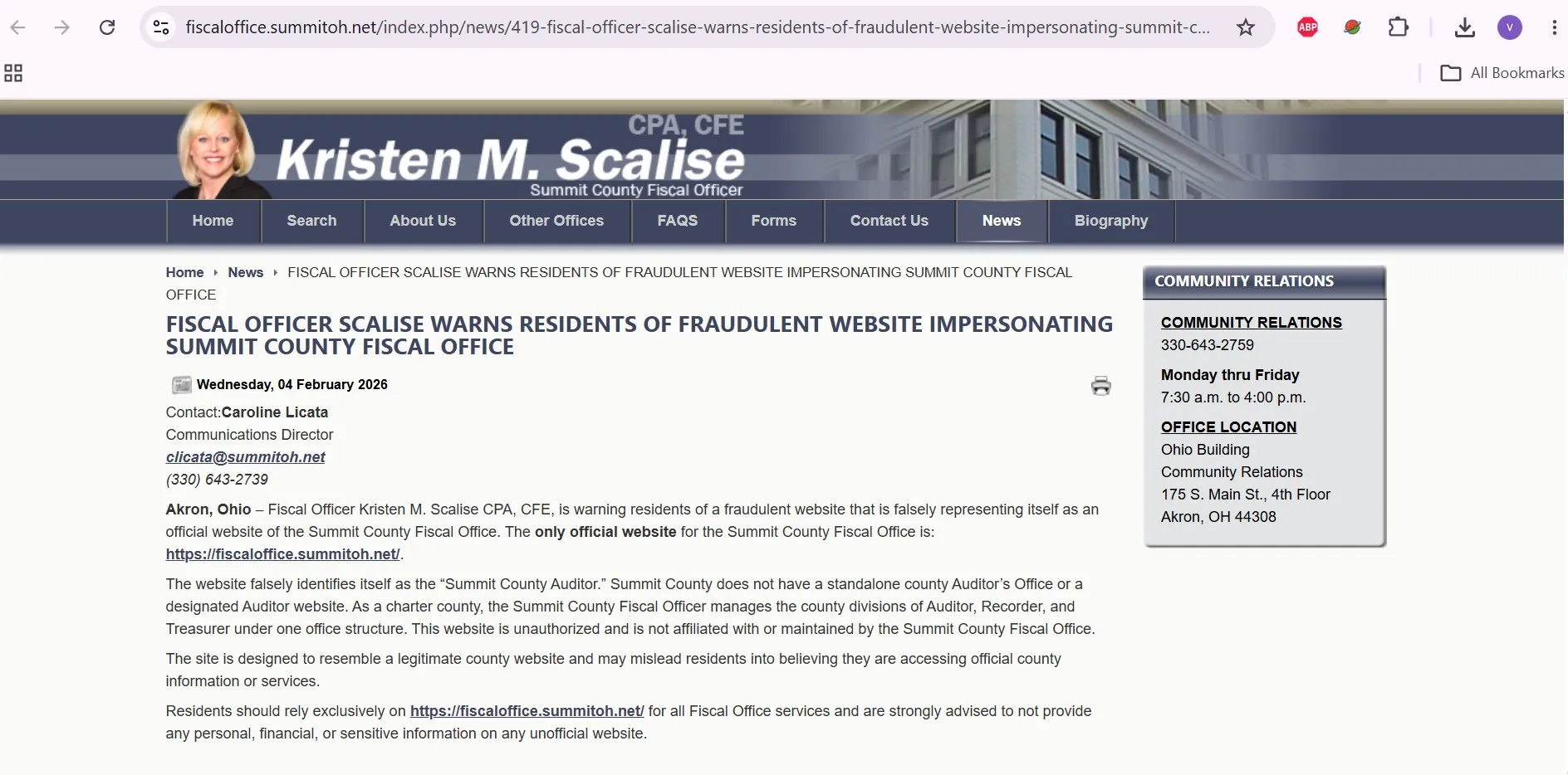
No. Summit County is a charter county, and its Fiscal Office manages the Auditor, Recorder and Treasurer divisions. The only official Fiscal Office website is fiscaloffice.summitoh.net.
How do I search Summit County property records by parcel number?
Open the official Property Tax and Appraisal search, accept the disclaimer and enter the seven-digit parcel number without adding owner or address fields. Verify the returned property address and owner before using the record.
How should I enter an address in the Summit County property search?
Begin with the street number and main street name. Do not initially include a direction such as South or a suffix such as Street or Avenue. Add more information only if the search returns too many properties.
What should I do if the Summit County property search is unavailable?
The official search occasionally displays a maintenance notice. Retry later, open the official Summit County GIS Parcel Viewer to identify the parcel, or call Real Estate and Appraisal at 330-643-2710 for a time-sensitive question.
What is the difference between appraised value and assessed value in Summit County?
Appraised value represents the Fiscal Office estimate of market value. Assessed value is 35 percent of the appraised value. The final property tax also depends on effective tax rates, voted and unvoted levies, reduction factors, credits and special assessments.
What is happening with the Summit County 2026 reappraisal?
The Fiscal Office is conducting the 2026 sexennial reappraisal and provides an official reappraisal dashboard and virtual-meeting option. Owners should review parcel characteristics, neighborhood sales and the new value notice when available.
Are Summit County GIS parcel lines legal property boundaries?
No. The GIS viewer is useful for locating parcels, recorded surveys, plats and map layers, but its lines are informational. A deed, recorded survey and qualified professional should be used for an exact boundary decision.
How far back do Summit County recorded documents go online?
The Recording Division provides browser access to recorded documents from 1988 forward. Records from 1840 through 1988 can be researched through the Index Book Archive Viewer.
How do I challenge a Summit County property value?
File a DTE 1 complaint with the Board of Revision between January 1 and March 31. The owner must prove the requested value with evidence. Paper forms must be properly signed and notarized; the official SmartFile system can also be used during the filing window.
Who handles Summit County property-tax payment problems?
Contact the Treasurer Division at 330-643-2588 for tax bills, payments and account questions. Contact Real Estate and Appraisal at 330-643-2710 for property values, parcel characteristics and appraisal questions.

Khushboo Bobade is the editor and digital publisher of CountyAuditors.org. She oversees the research and editorial process for the website, ensuring that information about county auditor offices, property records, and government resources is accurate, verified, and easy for visitors to understand.
10 Ohio Property Tax Calculators & Auditor Tools
Built specifically for Ohio's 35% assessment ratio, current DTE forms, and 2026 Homestead, Owner-Occupancy, CAUV, Conveyance Fee, and Board of Revision rules. Every number reflects verified Ohio Department of Taxation amounts.
Annual Tax Bill Estimator
OHIOApplies Ohio's 35% assessment ratio plus your county's effective millage tier — the actual math your auditor uses.
Homestead Reduction Calculator
DTE 105A2026 Ohio Homestead: $29,000 general or $58,000 enhanced (100% disabled vet, KIA spouse). OAGI under $41,000 required for non-veteran applicants.
Owner-Occupancy & Non-Business Credits
DTE 105CEvery Ohio owner-occupied home qualifies for the 2.5% Owner-Occupancy Credit plus the automatic 10% Non-Business Credit. Most owners don't realize these stack.
Conveyance Fee Calculator
ORC 322When you sell or transfer Ohio property, the auditor collects $1 state + up to $3 county per $1,000, plus $0.50 per parcel. Counties choose their rate.
CAUV Agricultural Savings
DTE 109Ohio's Current Agricultural Use Value cuts taxable value dramatically for farmland (10+ acres, or smaller with $2,500+ annual gross income).
Mill Rate Converter
Ohio tax rates appear three ways on auditor sites: mills, percent, or dollars per $1,000. Convert between them instantly.
Parcel Number Cleaner
Ohio's 88 counties each format parcels differently — Franklin uses 010-123456-00, Cuyahoga uses 001-23-456, Hamilton uses 100-0001-0001-00. Auto-detects.
35% Ratio Sanity Check
Ohio law sets taxable value at 35% of market value. If yours is significantly higher, you're a strong BOR appeal candidate.
BOR Appeal Savings
DTE 1A successful Board of Revision complaint typically cuts your value 10–20%. Filing is free and stays in effect until the next reappraisal.
BOR Deadline Countdown
MAR 31Ohio's statutory Board of Revision filing deadline is March 31 for the prior tax year. Miss it and you wait until next year — no extensions.
Verify with the official Ohio source
These calculators use the verified 2026 Ohio Department of Taxation amounts and statutory rules. For your exact bill, exemption status, and county-specific deadlines, always confirm with your county auditor and the Ohio Revised Code:
Estimates use Ohio's 35% statutory assessment ratio and effective tax rate tiers averaged across major Ohio counties. Your actual bill depends on local school levies, voted millage, inside vs. outside millage splits, House Bill 920 reduction factors (HB 920), and special assessments. The 2026 Homestead general amount ($29,000) and enhanced amount ($58,000) reflect HB 187 inflation indexing — your county auditor's office may show slightly different transitional figures. Nothing here is legal or tax advice. CountyAuditors.org is an independent informational directory, not affiliated with any county government.